PinnedSam McClatchieinTowards Data ScienceAutomated mapping of sea surface temperature with shell scripting, R and PythonThere are many ways to map sea surface temperature, or SST, which is produced by a range of satellite sensors, and served on multiple…Jul 20, 2022Jul 20, 2022
PinnedSam McClatchieinTowards Data ScienceDoes neighbourhood trapping work?And how can you tell?Oct 3, 20211Oct 3, 20211
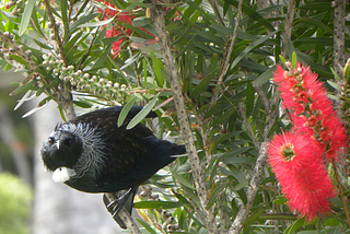
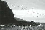
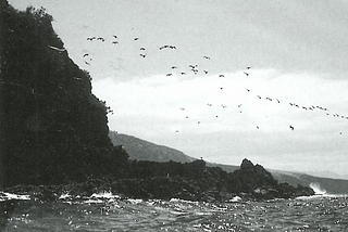
PinnedSam McClatchieinTowards Data ScienceImproving the World for BirdsOne predator at a timeJul 28, 2021Jul 28, 2021
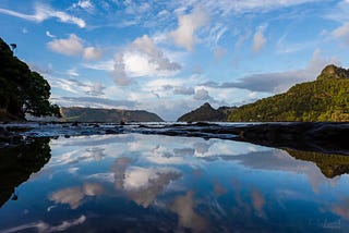
Sam McClatchieSeduced by sweetly singing sirensSea kayaking at Taiaroa Heads, New ZealandNov 28, 2022Nov 28, 2022
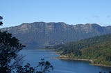
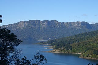
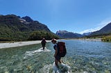
Sam McClatchieCatch and effort from a decade of trapping in the Eglinton Valley, Fiordland National Park, New…The Eglinton Valley in Fiordland National Park is home to one of the longest running invasive species trapping networks in New Zealand, and…Jun 18, 2022Jun 18, 2022
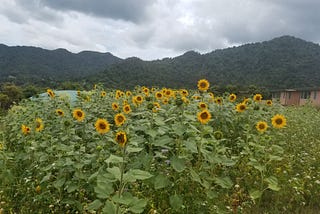
Sam McClatchieTransforming rank pasture into a meadow for bees and birdsNot mowing a lifestyle block in New ZealandOct 16, 2021Oct 16, 2021
Sam McClatchieSampans, scorpions, and the clash of cymbalsStories from an exotic childhoodSep 14, 2021Sep 14, 2021
Sam McClatchieConfessions of an oceanographeror why I should have been a botanistJul 13, 20211Jul 13, 20211